


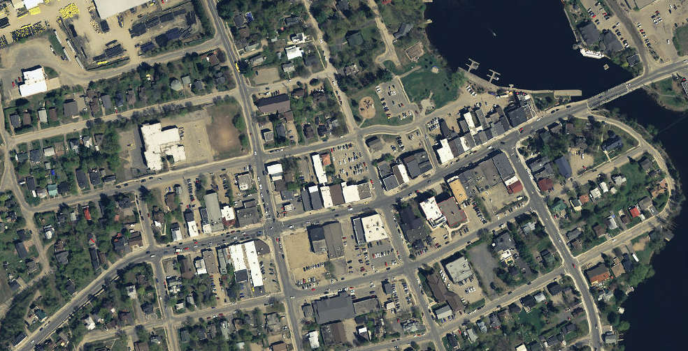
The updated platform allows users to overlay data layers and create printable maps
The Town of Huntsville has launched a new online mapping webpage designed to make local information easier to access.
The site features the Town of Huntsville Map Explorer, an updated interactive mapping platform that allows residents, businesses and visitors to explore detailed geographic data across the community.
Users can look up community planning permit areas, heritage-designated properties, and short-term rental locations. The tool also highlights parks, trails, town-owned properties, transit routes and accessibility features.
Officials say the platform also allows users to overlay data layers and create printable maps. The new mapping hub is now available through the Town of Huntsville’s website.
 Two people charged after woman shot
 Rear entrance at Huntsville Town to close temporarily
 Mosquitoes test positive for West Nile
 Gravenhurst backs calls for provincial action on Muskoka flooding
 Rod Ward withdraws from running in Huntsville









Comments
Add a comment